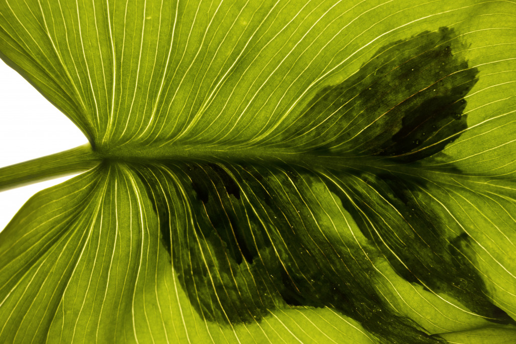
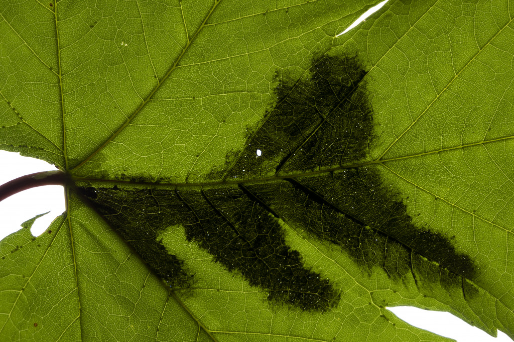
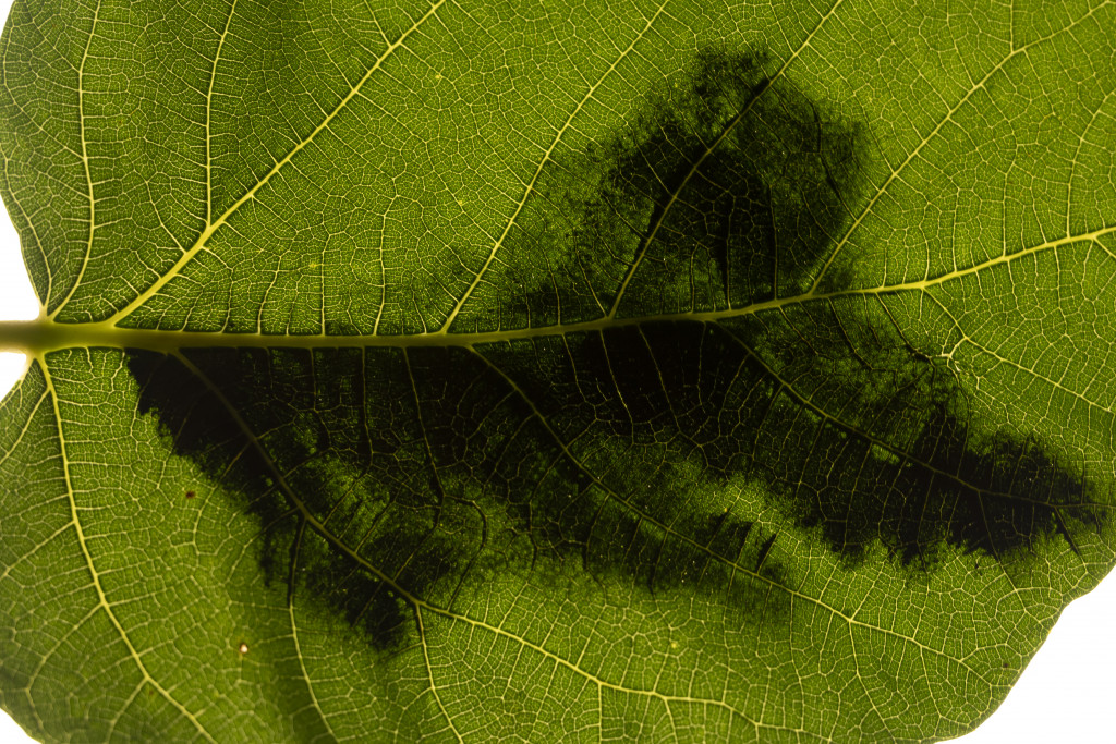
Mappa del perimetro del Site
BA Art Studio
2020
semester

Digital photo, 100 x 67 cm each
Inspired by my previous work, the process of a new artwork was developed. This time, the Site was a vineyard located in a different place. I mapped the Site by walking with GPS though its whole area and drew the mapping process on some leaves taken from the same place. The traces of the paintings become visible only when the leaves are in the sunlight direction: if the light passes through them, the map stands out.
The documentation of the Site is now on two levels. On the one hand, there is a map of the perimeter of the Site. On the other hand, there are natural elements of the same place.

